
Weber-Provo Canal System
The Weber-Provo System provides diversion of Provo River Project and other water rights from the Weber River to the Provo River.
- Weber-Provo Diversion
- Weber-Provo Canal
- Beaver Creek Diversion
- Francis Gauge & Weber-Provo Spillway
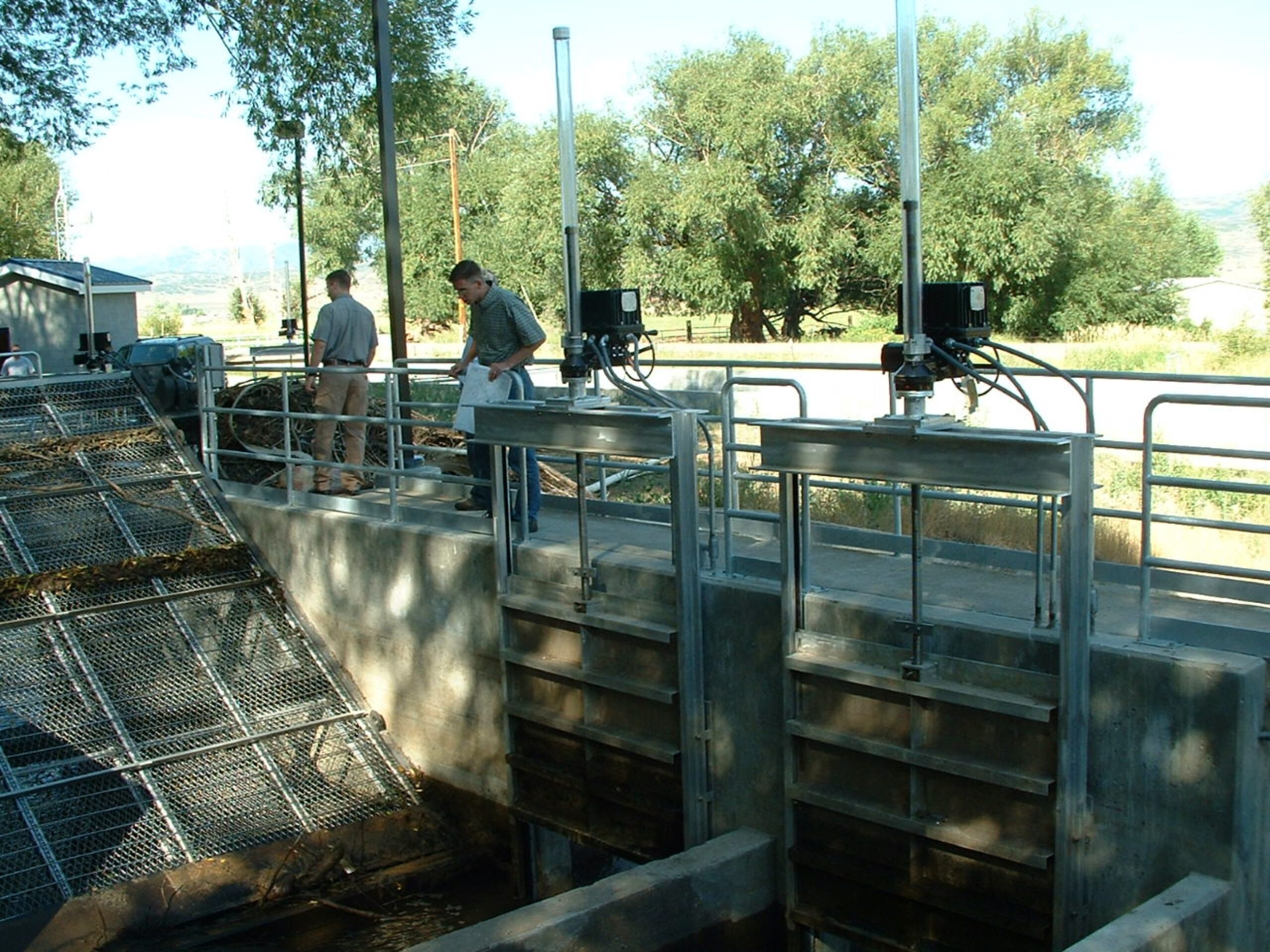
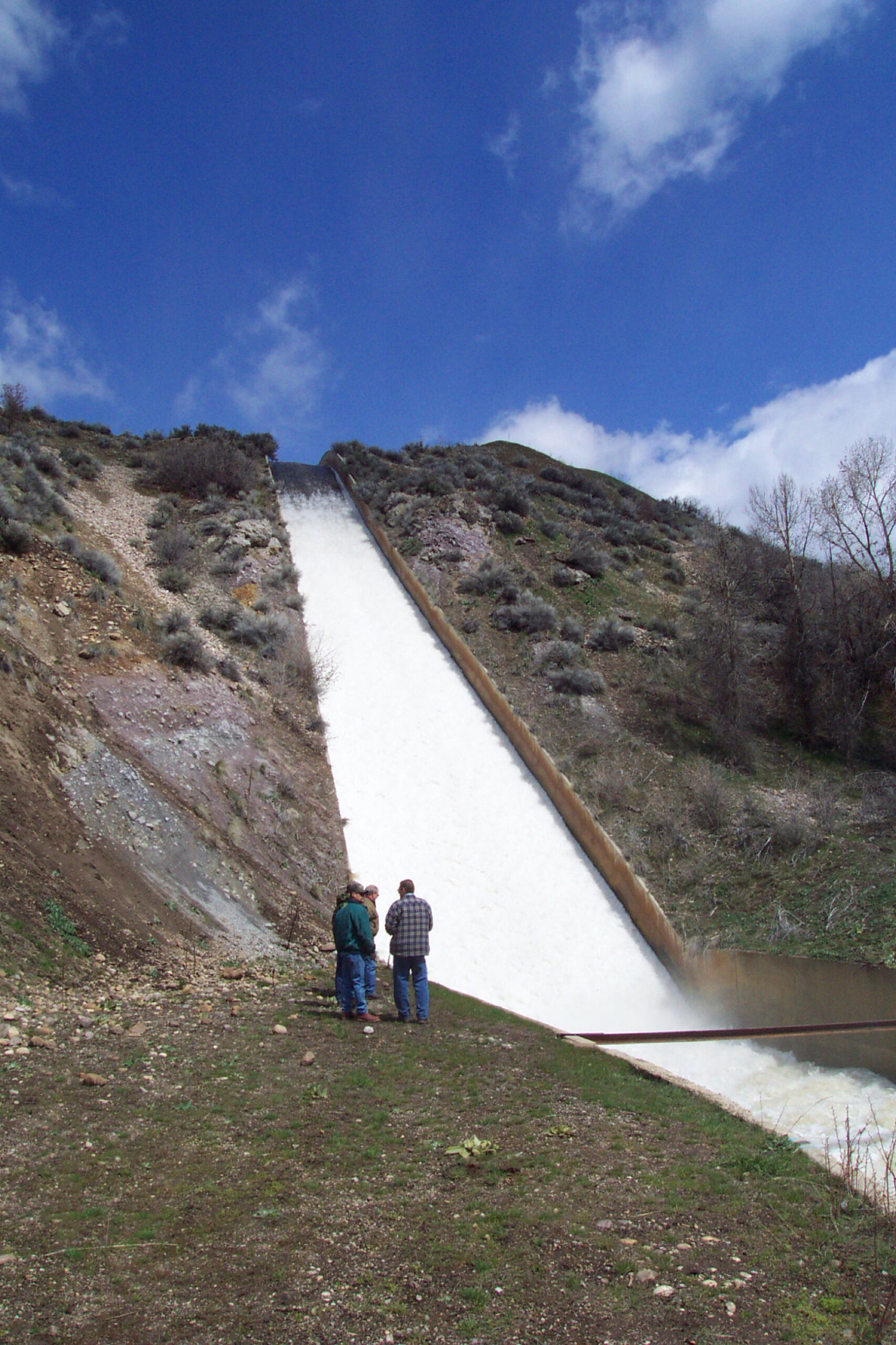
Weber Provo Diversion
What is it?
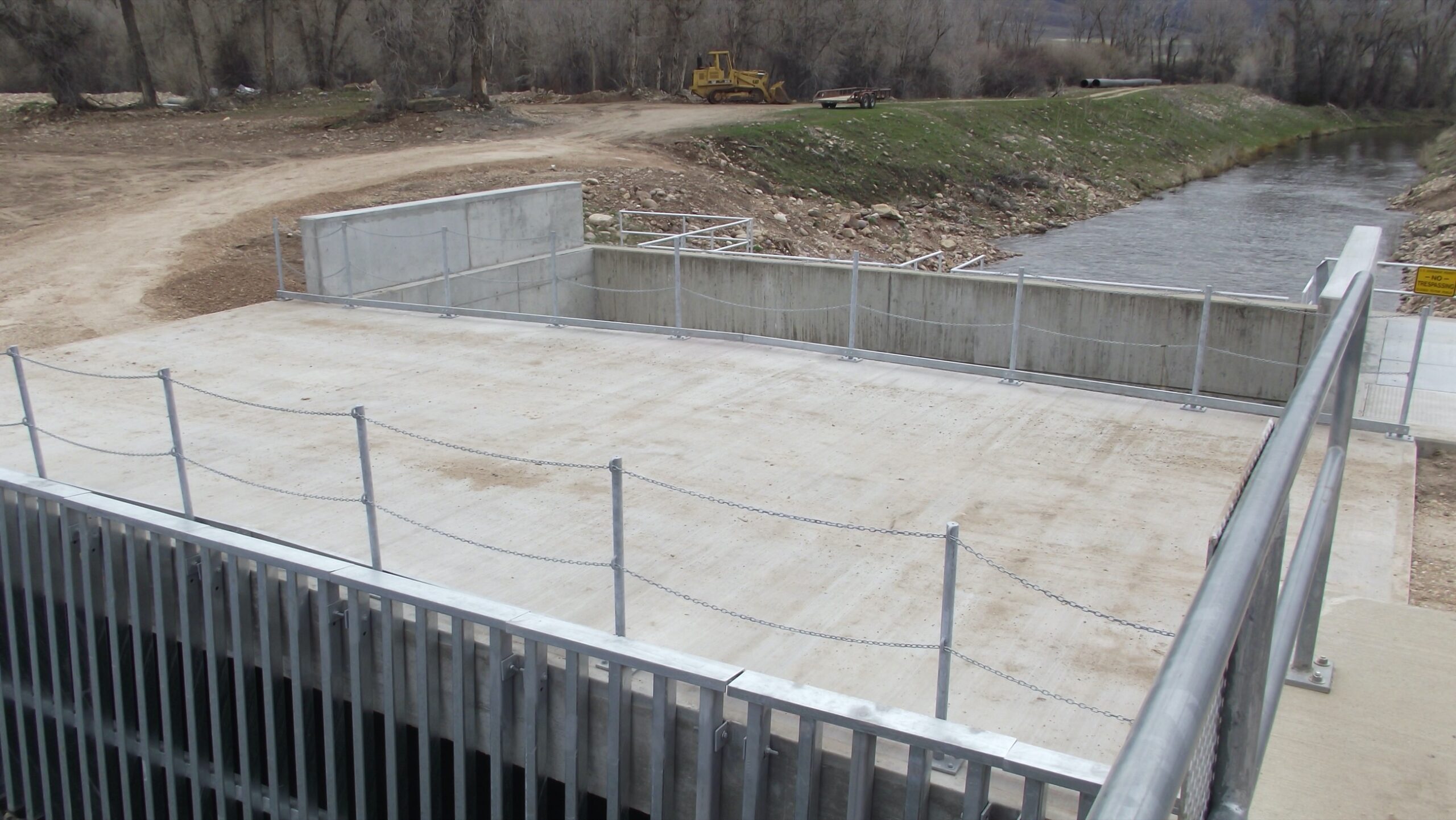
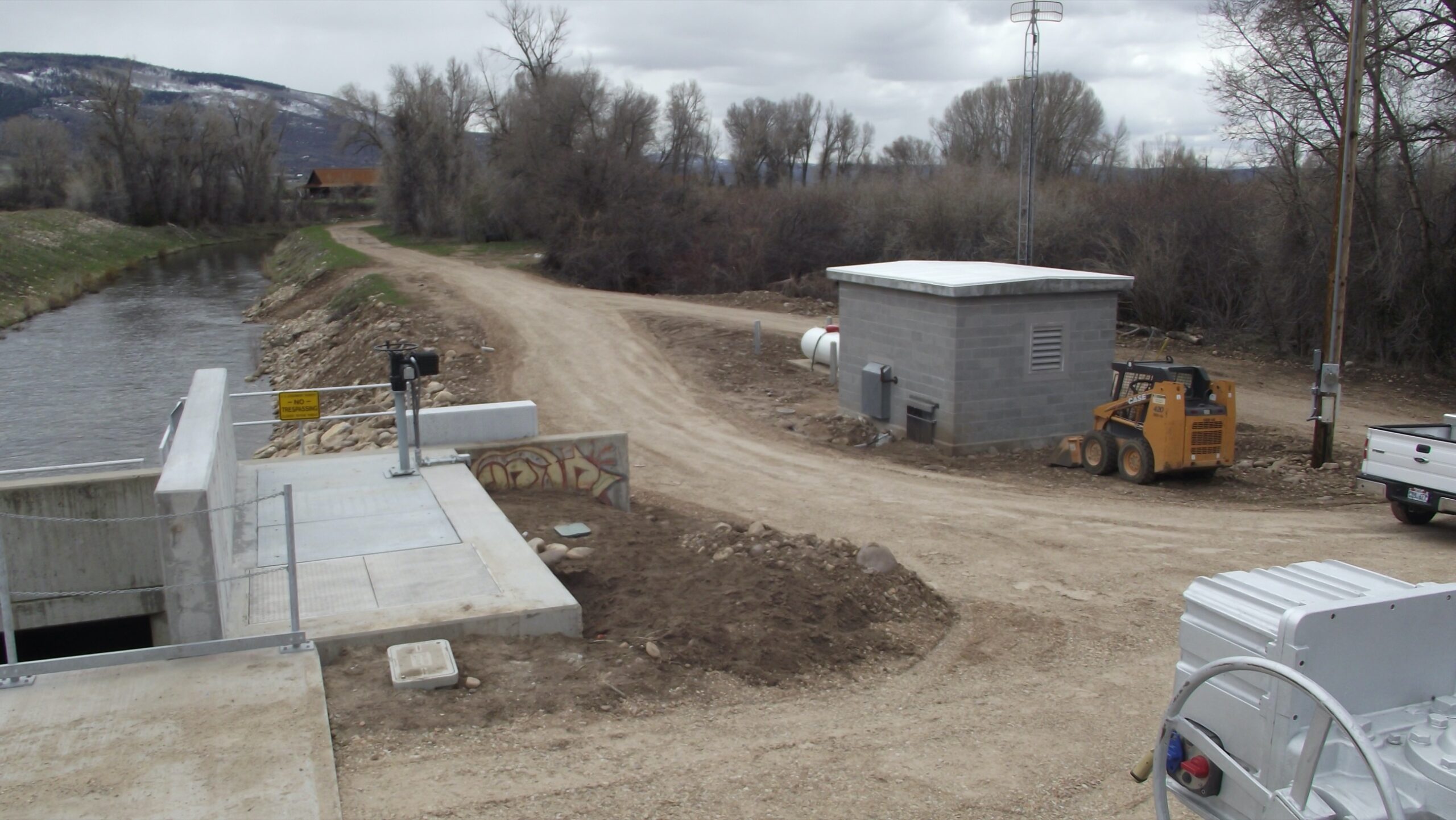
The Weber-Provo Diversion is a structure on the Weber River that diverts water from the Weber River through the Weber-Provo Canal. It is located approximately one mile east of Oakley, Utah.
Why was it built?
The Weber-Provo Diversion was built in order to slow and divert water from the Weber River into the Weber Provo Canal. It is located approximately one mile east of Oakley, Utah.
When was it built?
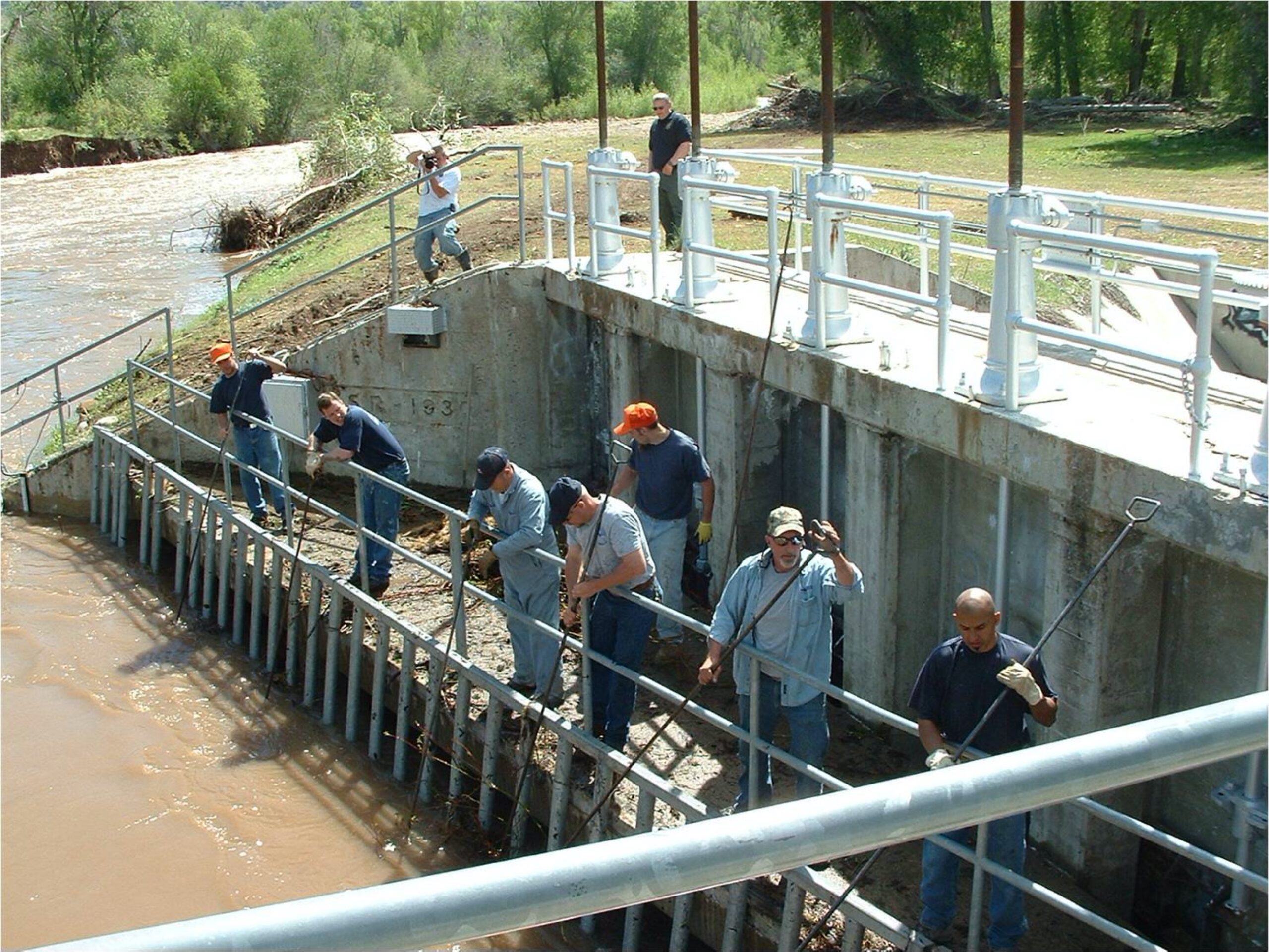
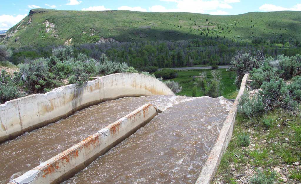
The original diversion structure was constructed in 1930 and consisted of a concrete ogee weir, two bypass slide gates and five diversion slide gates. In 1992, the diversion was reconstructed removing the two bypass gates, abandoning the five diversion gates, and installing a new radial bypass gate, new diversion intake screens and two new diversion radial canal gates.” In 2012 and 2019, the diversion was again modified to remove the original 5 slide gates and install metered low flow bypass pipelines around the ogee diversion weir and around the large radial gates controlling the canal inlet. This modification allows for mechanical cleaning of bar screens and accurate low flow control of river and diversion flows.
How big is it?
The Diversion consists of a concrete ogee crest dam that extends the full width of the Weber River. This dam is approximately 19 feet in height and backs up water that is diverted through two radial gates into the Weber-Provo Canal. The overflow capacity of the diversion dam is 12,000 cubic feet per second (cfs), and the structure can divert up to 1,000 cfs into the Weber-Provo Canal.
What is the Association’s responsibility?
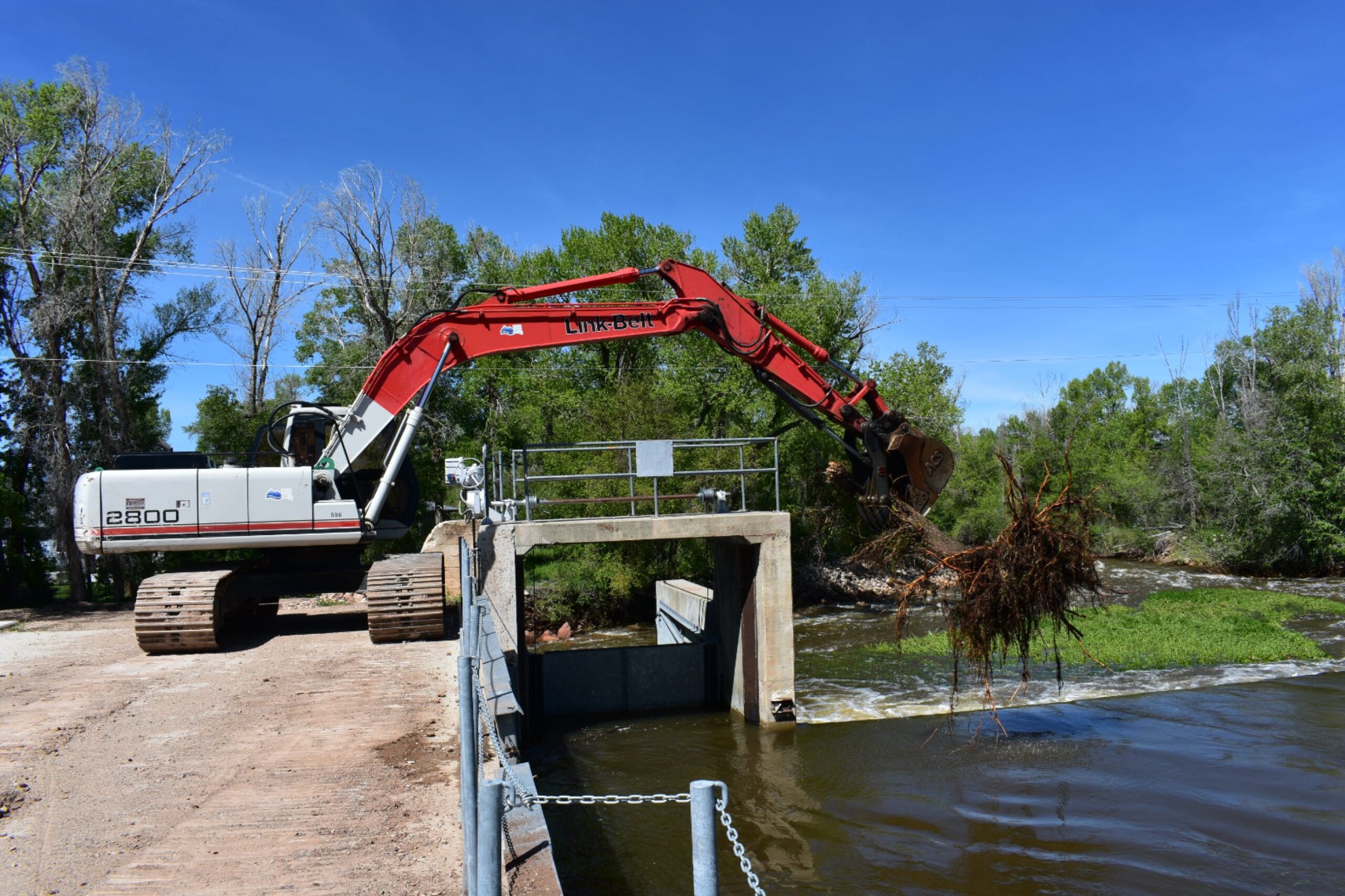
The Association’s responsibility is to monitor and control the amount of water that is diverted into the Weber-Provo Canal through sensors and remote controls. Association staff also maintains the cables and gates to ensure they function properly and keep the gates and forebay free of debris.

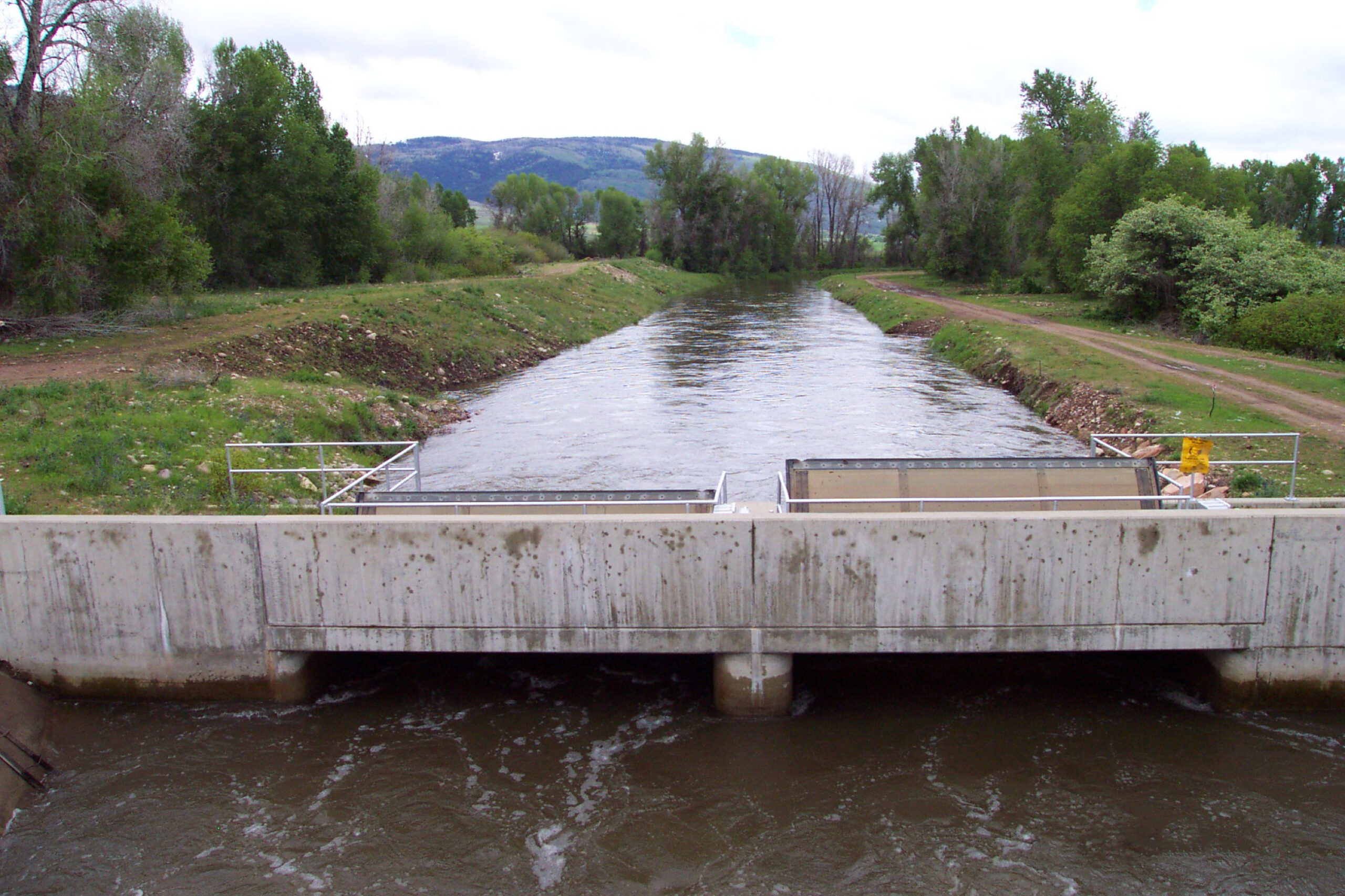
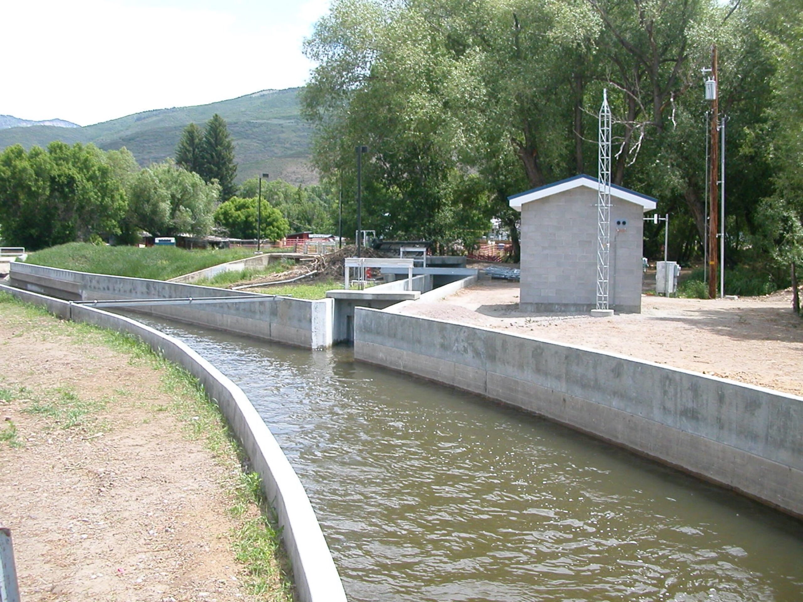
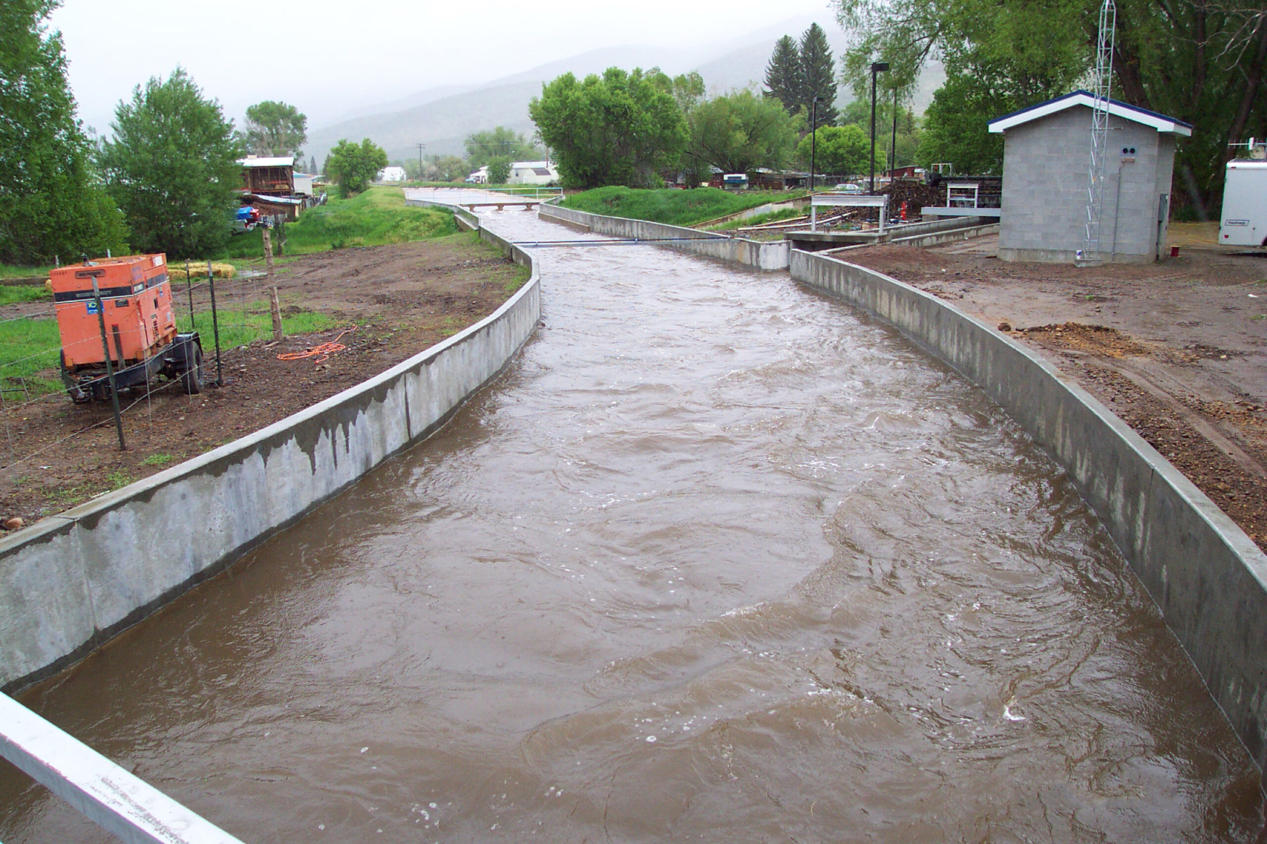
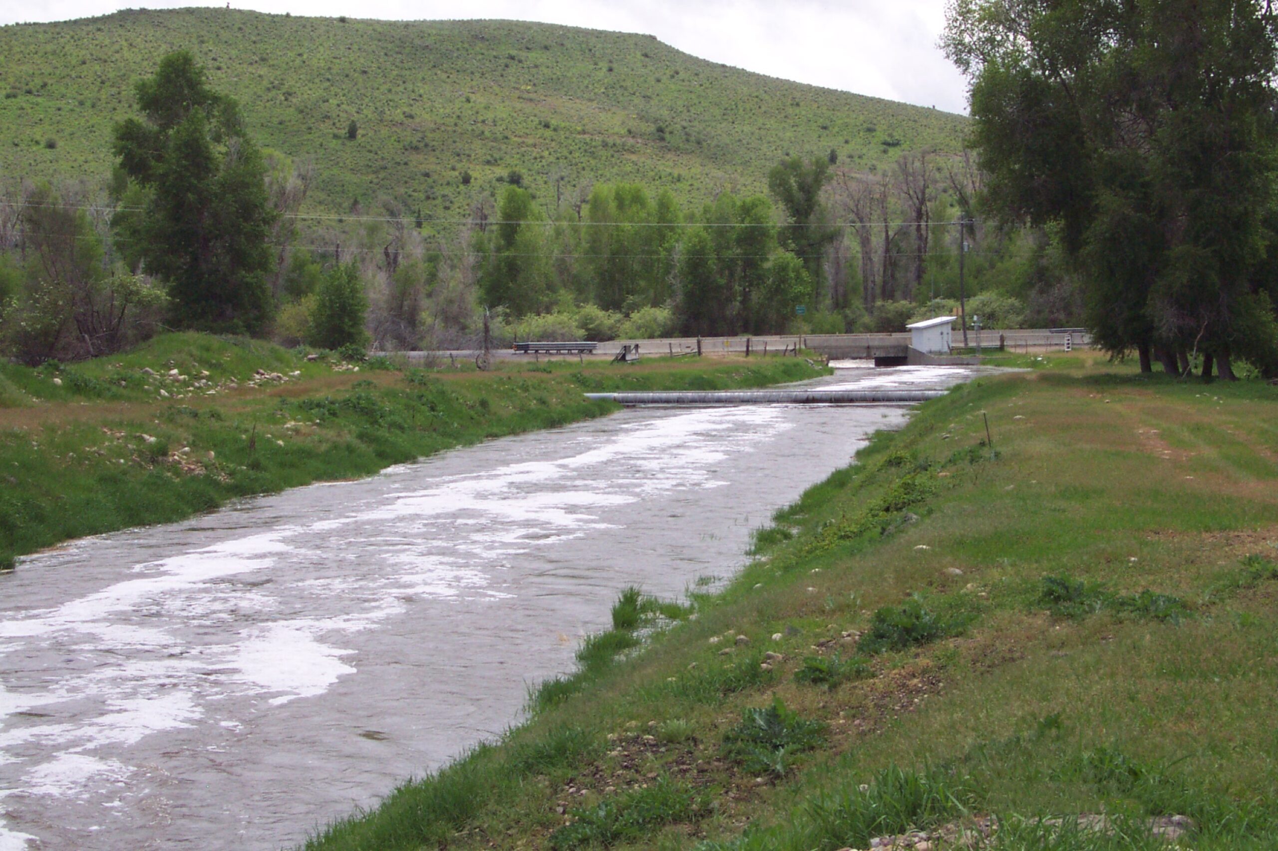
Weber Provo Canal
What is it?
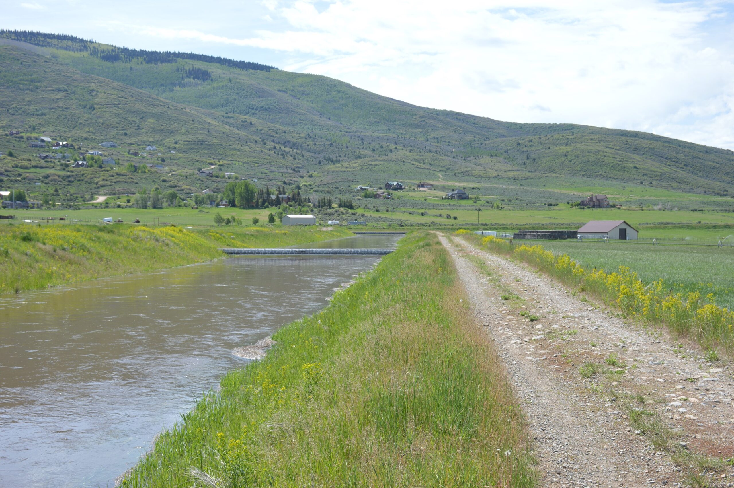
The Weber-Provo Canal runs from the Weber River, approximately one mile east of Oakley, Utah, generally south to the Provo River, nine miles away.
Why was it built?
The Weber-Provo Canal was originally constructed with a delivery capacity of 210 cfs to convey Weber River Project water and non-project water from the Weber River to the Provo River. Additional Weber River water rights were obtained when the Provo River Project was authorized in 1935 and again in the 1940s when the Weber-Provo System was transferred to the care of the Association. The canal was enlarged to carry 1000 cfs as part of the Provo River Project. The Association oversees the conveyance of Provo River Project water as well as some Weber River Project water and non-project waters through the canal to the Provo River.
When was it built?
The Weber-Provo Canal was originally constructed in 1929-1930 as part of the Weber River Project and was enlarged in 1941-1947 under the Provo River Project.
How big is it?
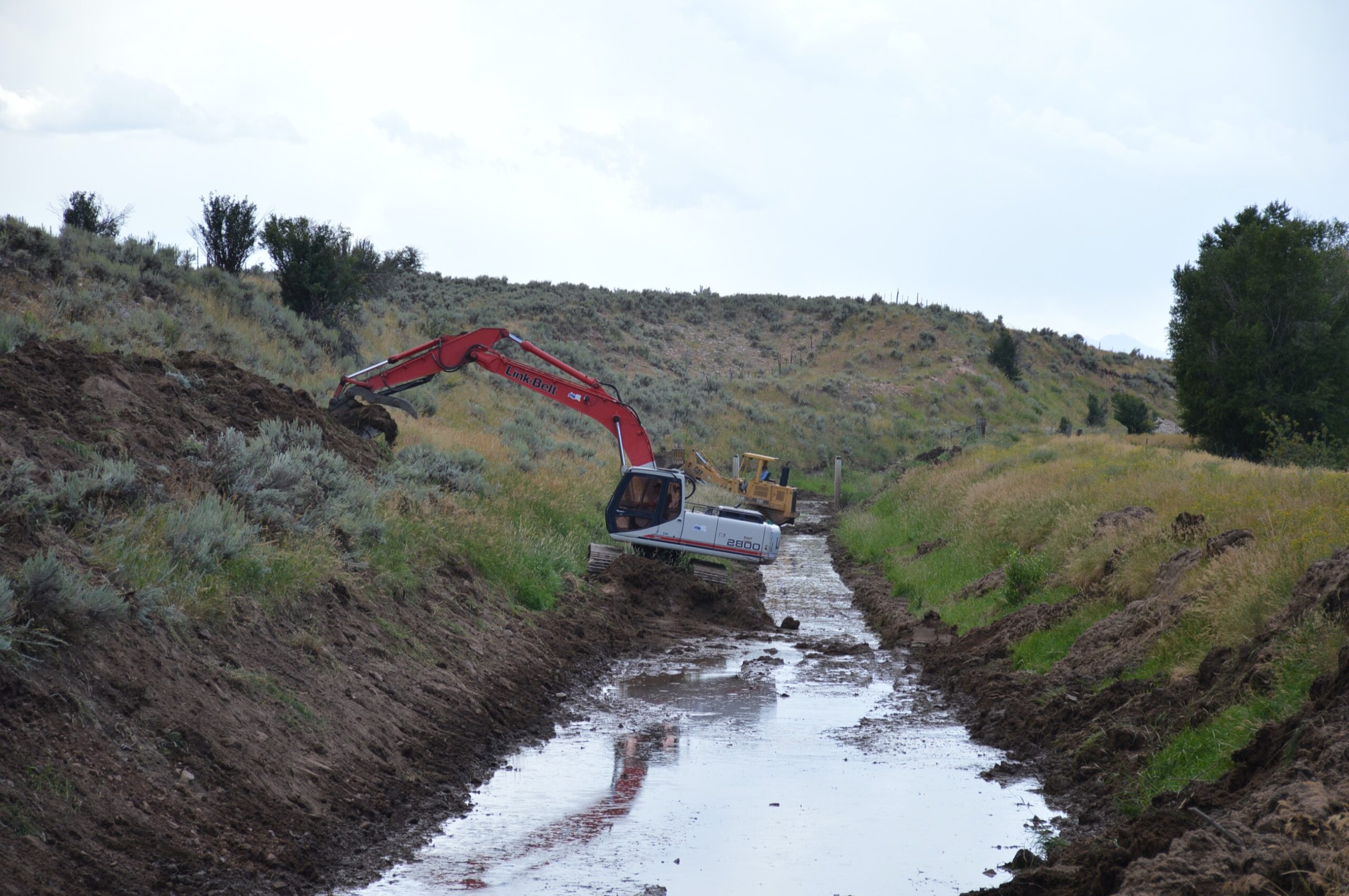
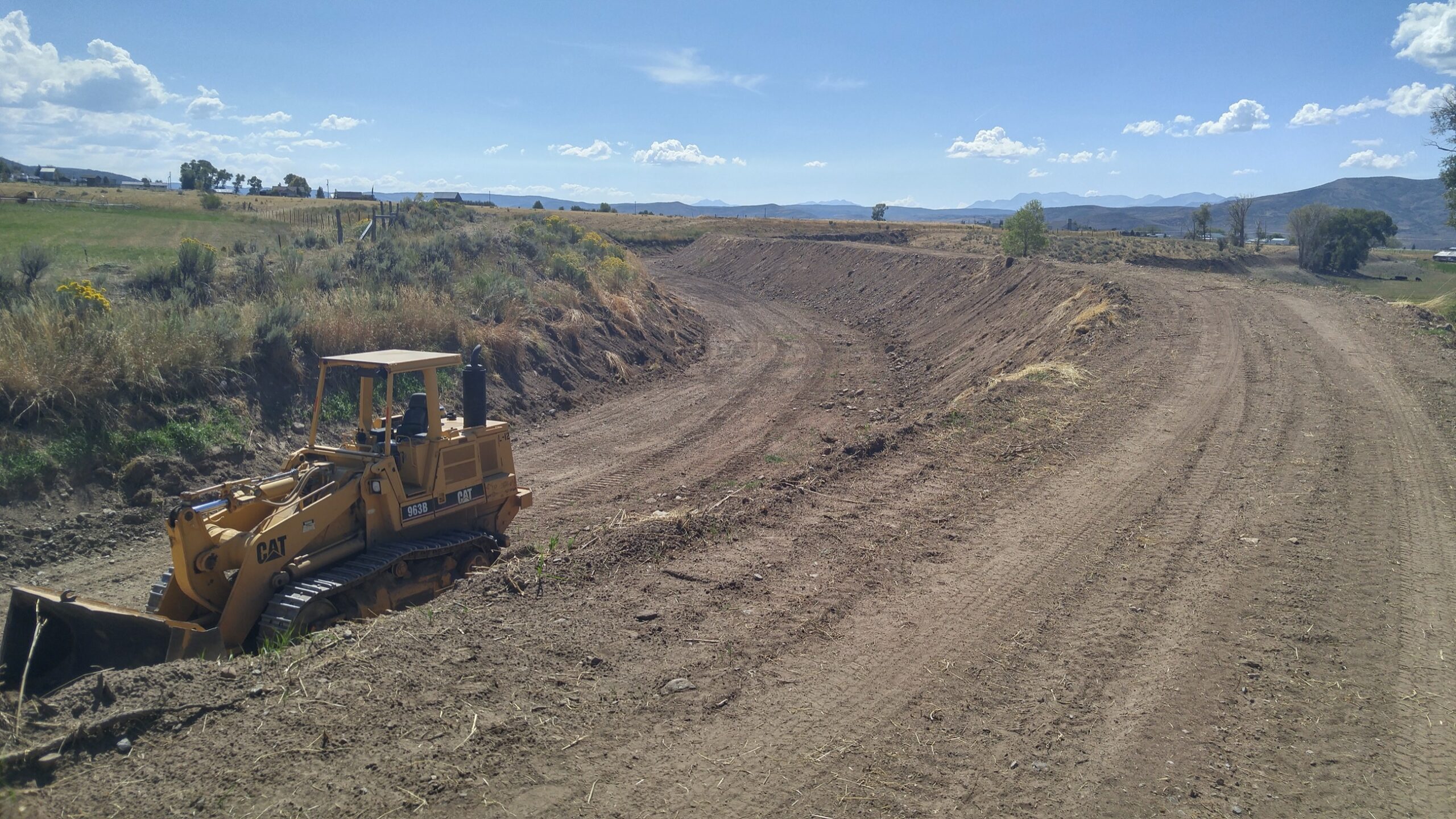
The Weber-Provo Canal is approximately nine miles in length and consists of unlined, earth-lined and concrete-lined sections. The canal can deliver up to 1000 cfs.
What is the Association’s responsibility?
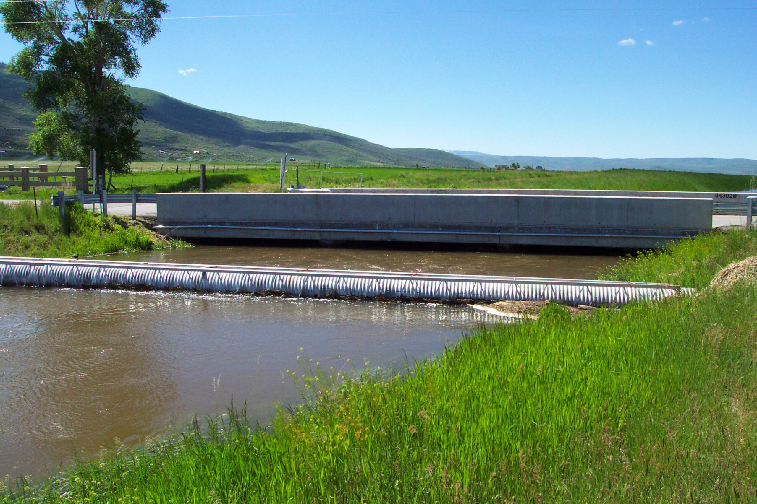
When the canal was originally constructed, there were concerns that the canal would lower the ground water table adjacent to the canal. Three check structures along the canal maintain a constant water surface elevation in the canal to allow groundwater levels adjacent to the canal to be in balance with the surrounding groundwater level. The Association’s responsibility is to maintain these check structures to ensure their proper functioning. Association staff also repairs fences along the canal, cleans out sandbars, removes excess foliage, controls the check structures, measures and monitors flow, and ensures the diversion and gate structures remain in working order.
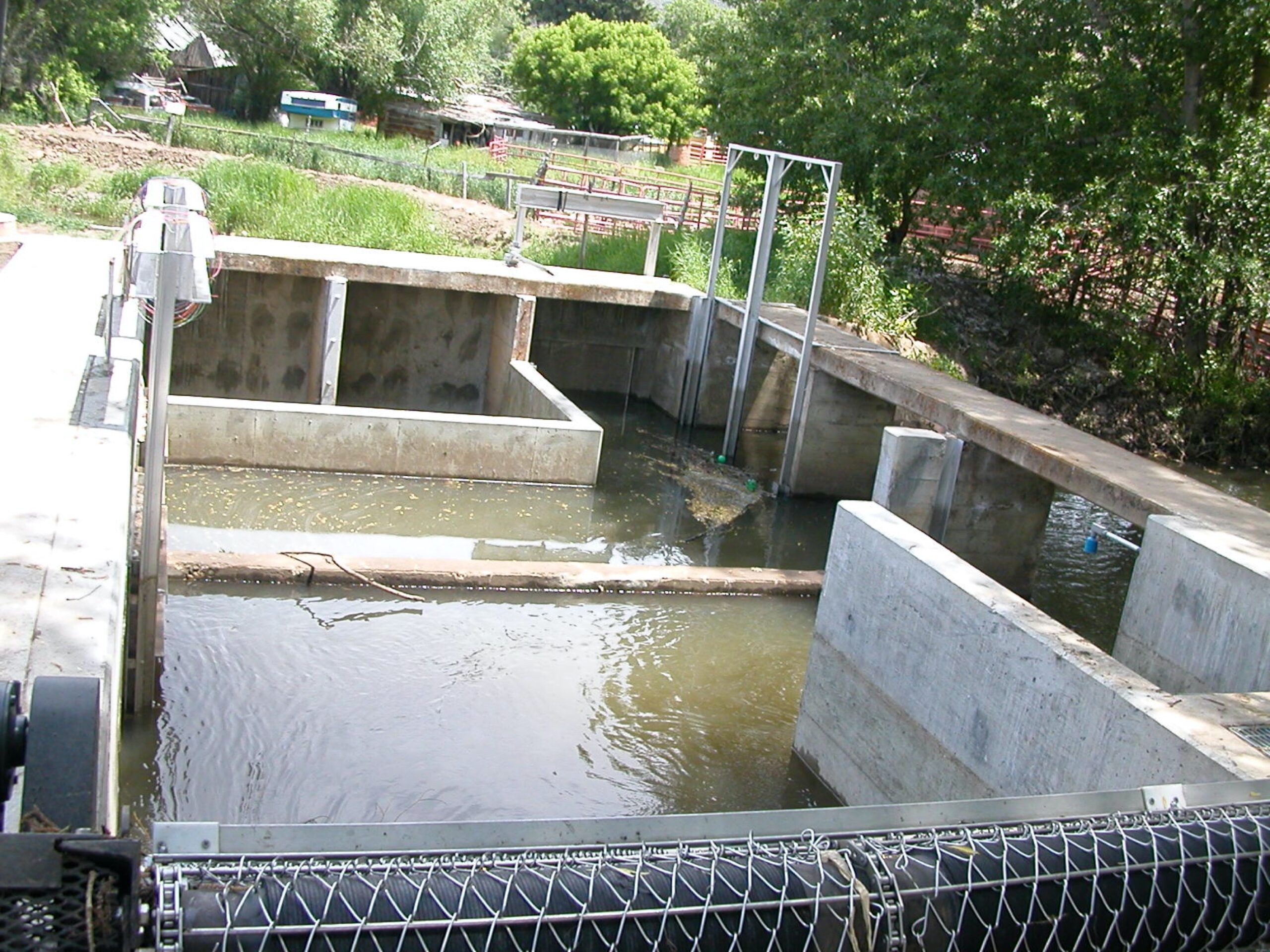
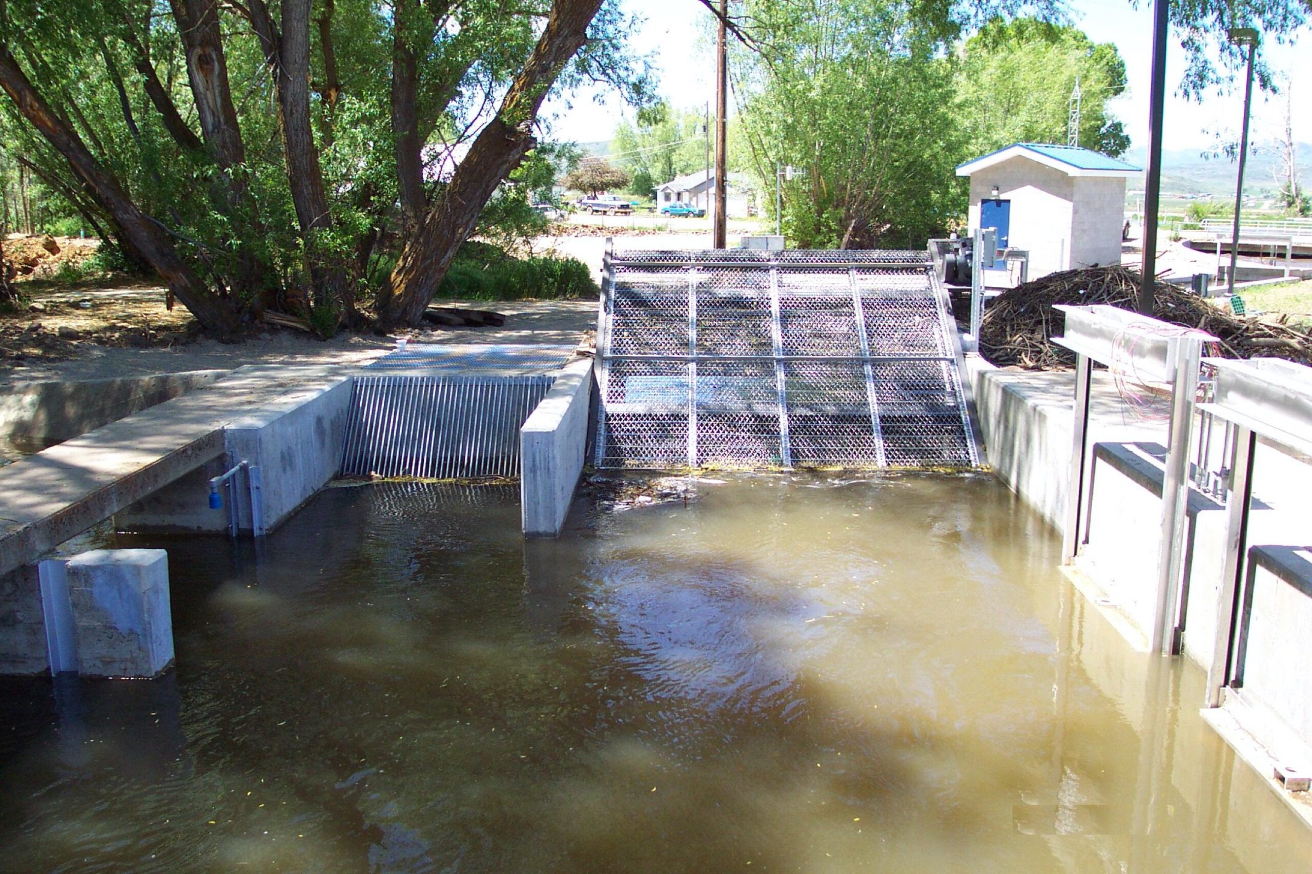
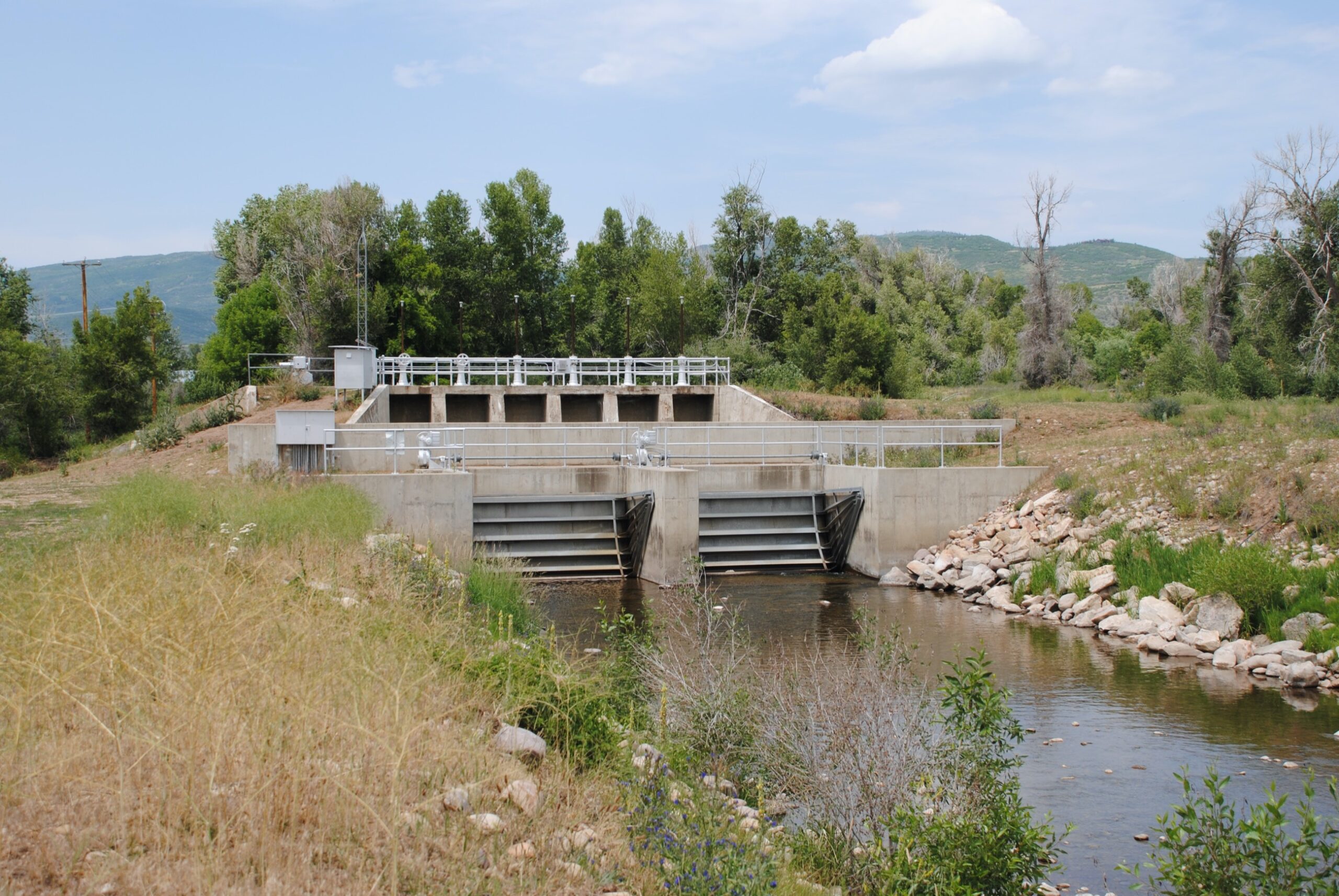
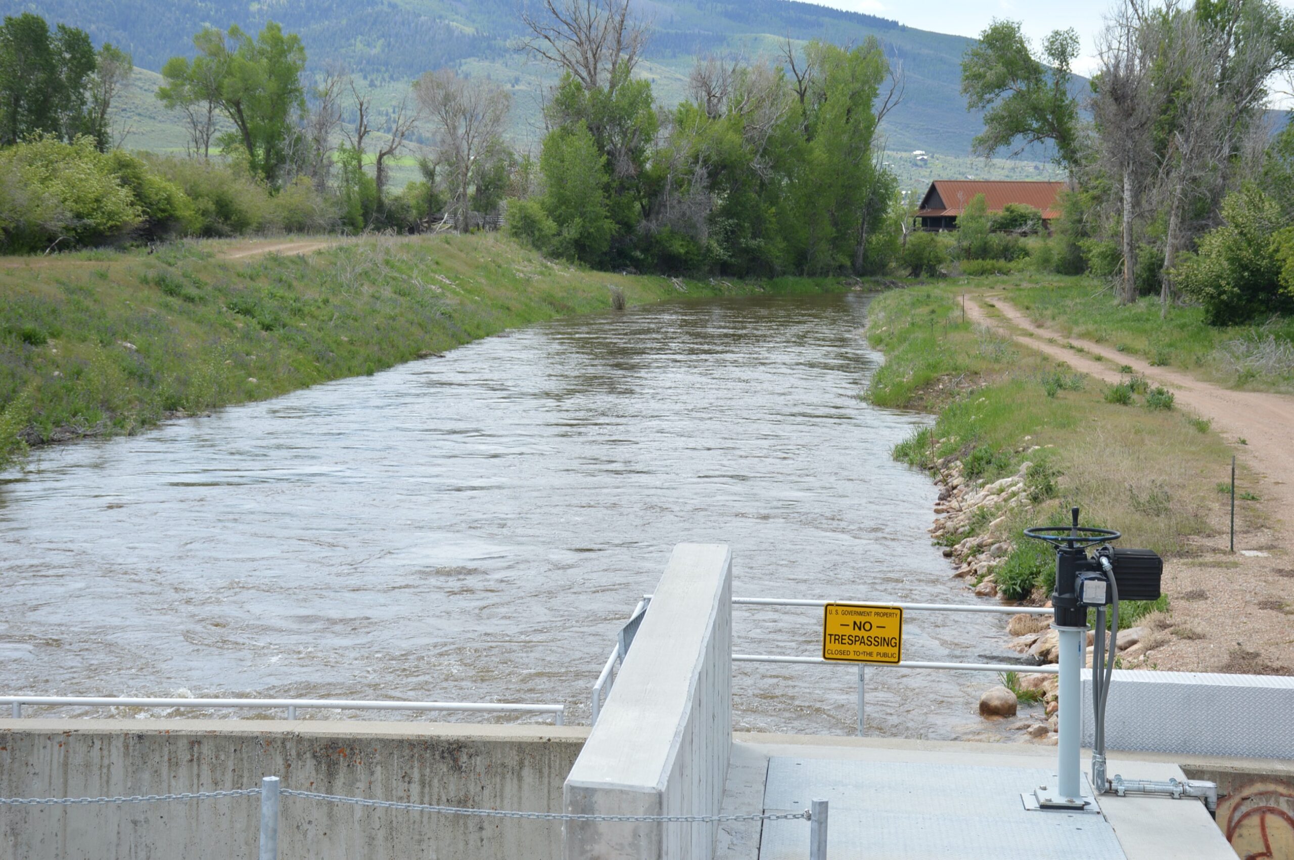
Beaver Creek Diversion
What is it?
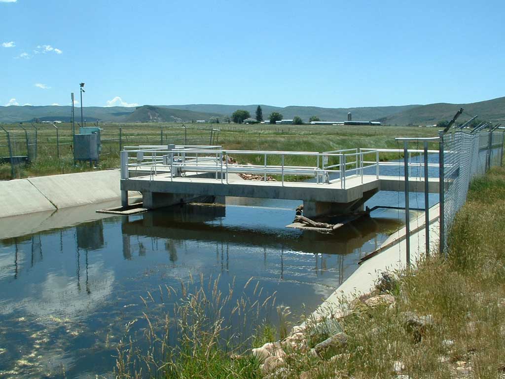
The Beaver Creek Diversion is a concrete structure located at the intersection of Beaver Creek and the Weber-Provo Canal in Kamas, Utah. The structure was designed to divert up to all of the flow, except for a small diversion downstream, in Beaver Creek into the Weber-Provo Canal and allow water to be redirected into Beaver Creek from the Weber-Provo Canal in case of emergency.
Why was it built?
The Beaver Creek Diversion was built to allow the Association to divert water from Beaver Creek into the Weber-Provo Canal for eventual storage in Deer Creek Reservoir for use by Association shareholders. The diversion can also allow water to be diverted from the Weber-Provo Canal back into Beaver Creek or to be delivered from Beaver Creek to other water right holders in the Kamas area.
When was it built?
The Beaver Creek Diversion was originally constructed in 1921. In 1941, the Association acquired operation and maintenance of the Weber-Provo Canal as part of the Provo River Project; the entire canal system was enlarged and improved at this time.” In 2005, the Beaver Creek Diversion was automated with electronic actuators, new control gates and automated screens. Additional sideboards were added to the Weber-Provo canal through the Beaver Creek Diversion area to insure that the 1000 cfs capacity of the canal could be delivered through this section.
How big is it?
The Beaver Creek Diversion varies in its capacity depending on the needs of the Association, but it can deliver up to 150 cfs of water.
What is the Association’s responsibility?
The Association’s responsibility is to maintain the gates and keep the diversion bay free of debris. Association staff also controls and monitors water flow.

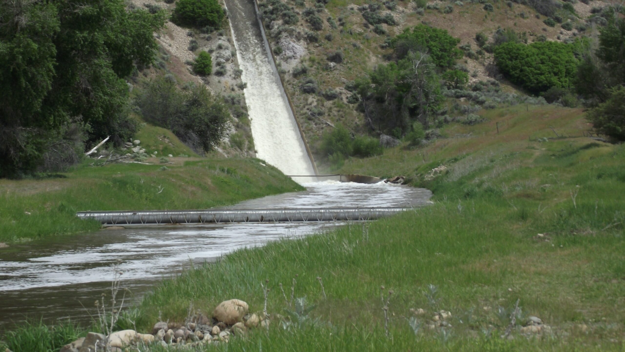
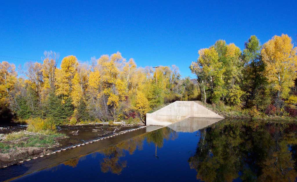
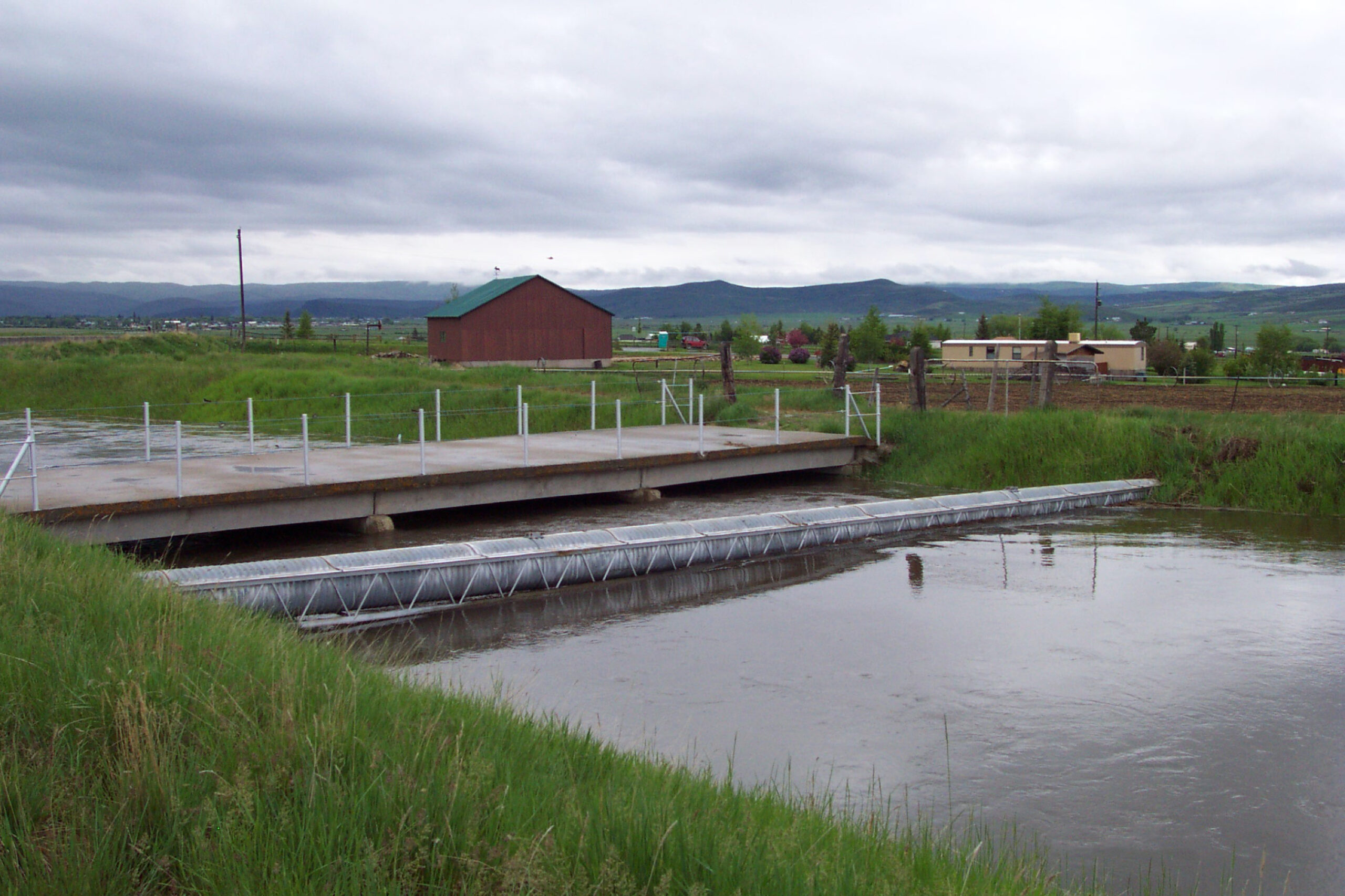
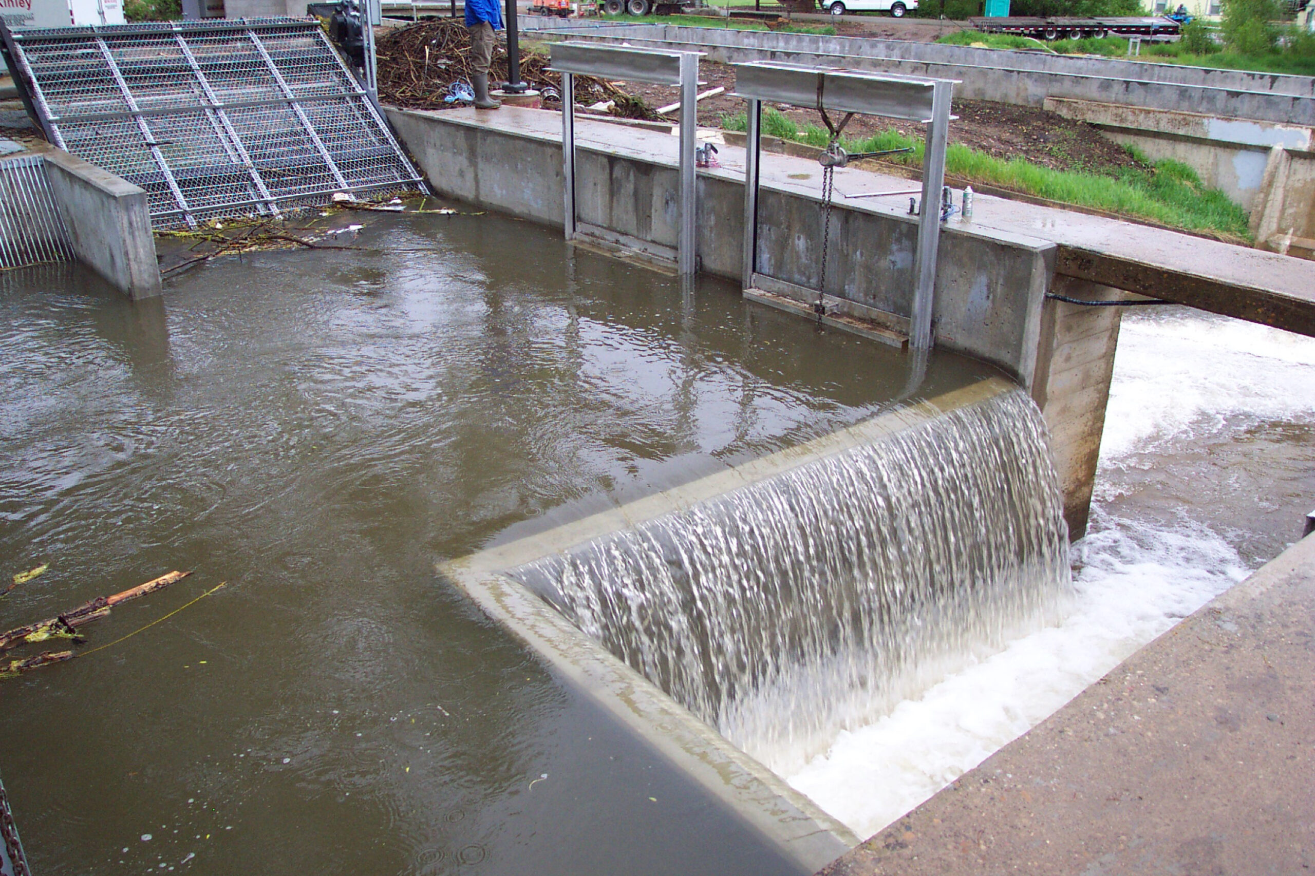
Weber-Provo Spillway & Francis Gauge
What is it?
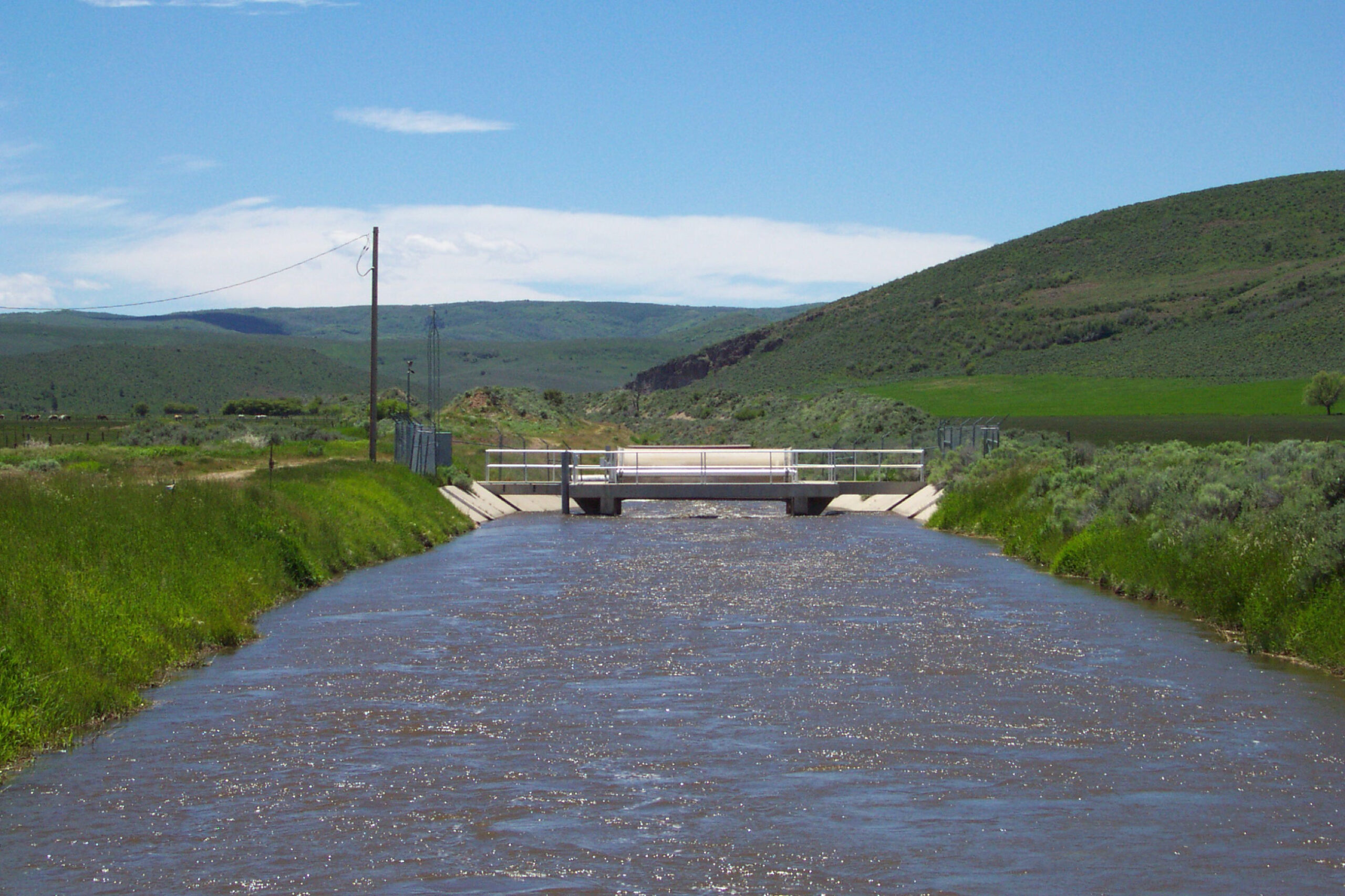
A gauge is a mechanism that forces water to pass through it in such a way that the flow of the water can be measured. The Francis Gauge is located at the intersection of State Highway 32 and the Weber-Provo Canal in Francis, Utah, three miles southwest of Kamas.
Why was it built?
The Francis Gauge was built to measure how much water is being delivered into the Provo River from the Weber-Provo Canal.
When was it built?
The Francis Gauge was built in 1941 as part of the Provo River Project enlargement of the Weber-Provo Canal
What is the Association’s responsibility?
The Association’s responsibility is to maintain the Gauge facilities, and to monitor and measure the flow of water through the gauge.